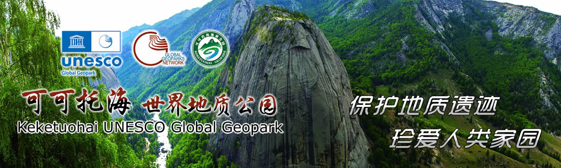
GEOPARK INTRODUCTION
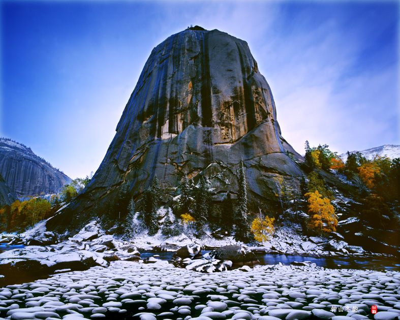
Keketuohai UNESCO Global Geopark is located in the Altay Region of Yili Prefecture in Xinjiang, China, spanning Fuyun County and Qinghe County, 33 kilometers from the Fuyun county seat. With Kaladuergen River in the north, Kalaxiangeer in the south, Kalagezeng in the west, and Kalazhuole and Tayite in the east, it ranges in elevation from 1072 to 3234 meters and occupies an area of 2337.90 square kilometers. The Geopark is comprised by Irtysh Gorge, No. 3 Mine, Sayihengbulake, Kekesuli and Kalaxiangeer. It is world-renowned for its typical granite-pegmatite rare metals deposits and mine site, unique Altai Mountain granite landforms, traces of…
CHARACTERISTICS
GEOGRAPHY AND TRANSPORTATION
Keketuohai UNESCO Global Geopark is more than 10 kilometres away from Mongolia in the north and east, 15 kilometres away from the urban area of Fuyun County in the south-west, 30 kilometres away from the urban area of Qinghe County in the south-east, 150 kilometres away from the city of Altay, the capital of Altay Region, in the north-west, and about 580 kilometres away from Urumqi in the south. At present, a three-dimensional traffic network consisting of highway, railway and airport has been initially formed. Highways include S11 Highway, G216 National Highway, S320 Provincial Highway, S226 Provincial Highway, S228 Provincial Highway, G331 …
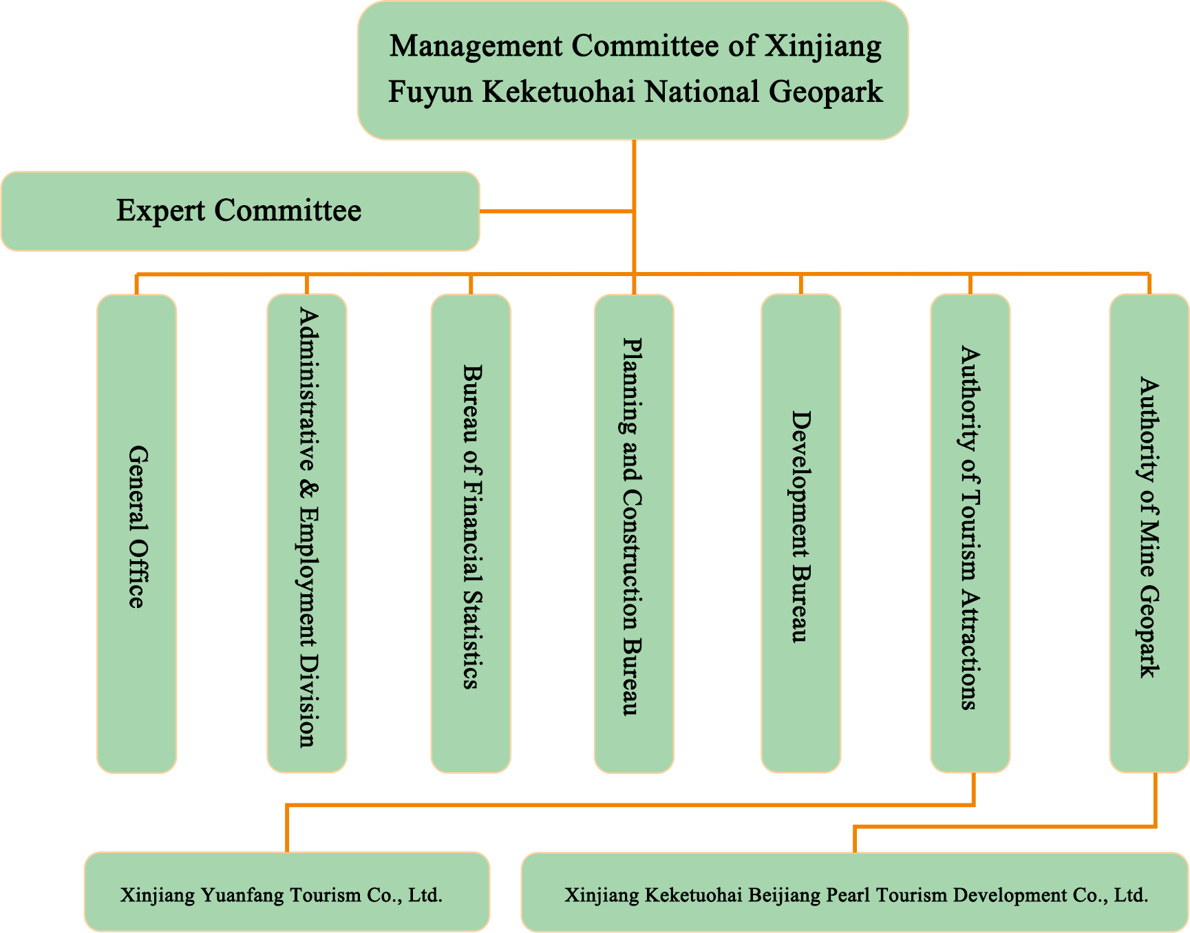
GEOPARK MANAGEMENT
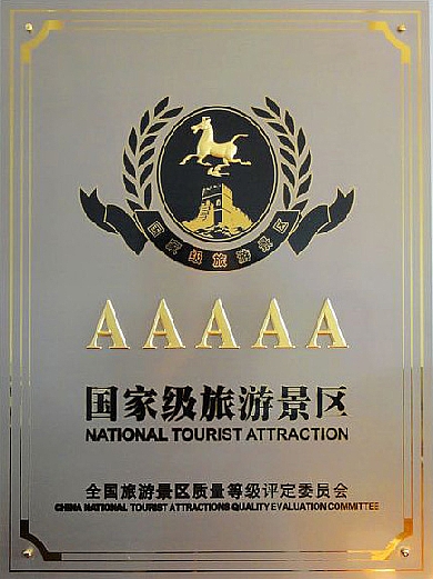
HONOR