Fuyun County was the territory of Xiongnu in Han Dynasty, the annexed territory of Western Turks in Sui and Tang dynasties, the feud of the kings of Mongolia in Yuan Dynasty, the pasture land of Oriad in Ming Dynasty, and governed by the Grand Minister Consultant of Khovd in Qing Dynasty.
Until year 8 of the Republic of China (1919), Altay was allocated to Xinjiang Province, and the area was separated from Buluntuo in the year 26 of the Republic of China (1937), with an administrative bureau set up in Keketuohai; in the year 30 of Republic of China (1941), the administrative bureau was cancelled, and the area was established as the third-level county, namely Fuyun, with the county government set up in Keketuohai. After liberation, the party and government offices of Fuyun County remained here. After the founding of the People's Republic of China, the area was incorporated into Altay Special Administrative Regionand Altay Prefecture in succession. The People's Government of Fuyun County was established in 1950. When the regime of districts and townships was established in 1953, the area is under the administration of one district and two townships. The organizational system of one district was cancelled in 1956, and the people's council of Keketuohai Town was established. The party and government offices of the County were relocated in 1959, and the revolutionary committee of the Town was established in 1970 and renamed as the people's government in 1980. In 1984, it was approved as Keketuohai Town by the People's Government of the Autonomous Region. Keketuohai Town is the first town on the Irtysh River.
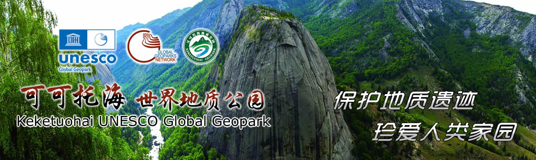
In September 2005, the Ministry of Land and Resources of the People's Republic of China approved Keketuohai as the national geopark, which laid a foundation for effective protection, reasonable development and utilization, and sustainable development of Keketuohai geological relic landscape.
In 2006, the county party committee and the county government introduced Xinjiang Yuanfang Tourism Co., Ltd. by means of attracting investment with the brand of national geopark to build and manage the geopark, and initiated the unveiling and opening for construction of Xinjiang Fuyun Keketuohai National Geopark.
On July 15, 2008, the unveiling ceremony of Keketuohai National Geopark was held to announce its formal opening.
On May 31, 2011, the Management Committee of Xinjiang Fuyun Keketuohai National Geopark was established with the approval of FDF (2011) No. 42 document to execute the management responsibility for the Geopark. In August 2011, it was approved by the Ministry of Land and Resources of the People's Republic of China as the Land and Resources Science Popularization Base.
It was approved as 5A Tourist Attraction by China National Tourism Administration in January 2012. In 2012, its application for becoming membership of global geoparks network was started formally.
In 2014, according to the XDBB (2014) No. 76 document prepared by the CPC of Xingjiang Uygur Autonomous Region and theADDBB (2014) No. 105 document prepared by the prefectural Party Committee of Altay Prefecture, the Management Committee of Xinjiang Fuyun Keketuohai National Geopark was established, with 7 internal organizations set up.