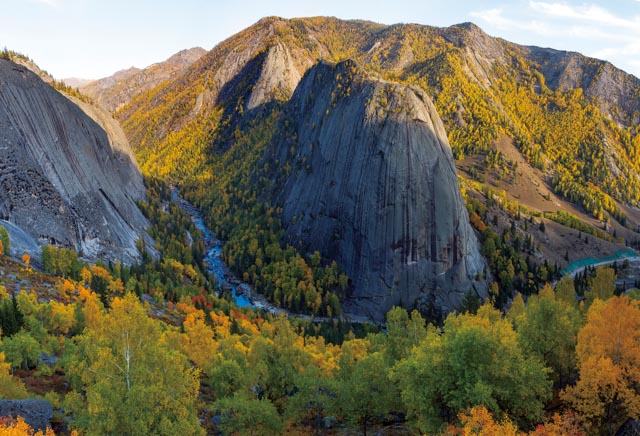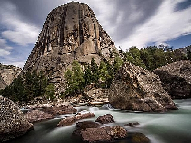
Holy Bell Valley
The altitude is 1,335 m. The gorge is 8 km long in
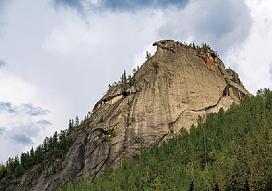
total, and the bottom is 10 - 20 m wide, distributed along the region from the Holy Bell Peak to the Jilande Hot Spring. There are marvelous peaks composed of giant
porphyritic biotite granite of the Yanshannian period at its both banks, and
the Irtysh River passes through the middle of it. The river water is rapid and
slow now and then. There is stone scenic group formed by the collapsing of
granite at both sides of the valley, and there is also vegetation such as birch
and Siberia spruce grown, like a balancing and animated landscape painting.
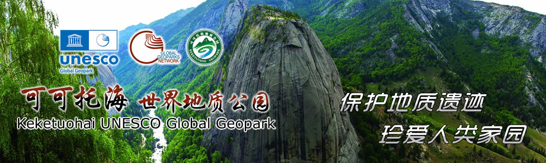
People is enjoying the painting as well as constituting the painting. When the
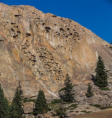
running water scours and down-cuts the granite rock mass along the approximately
upright shear
crack existingon the mass, the approximately upright gully is formed andbecomes
the gorge with two cliffs finally as its deepthisdeeper and deeper.